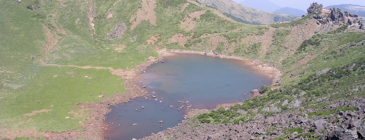
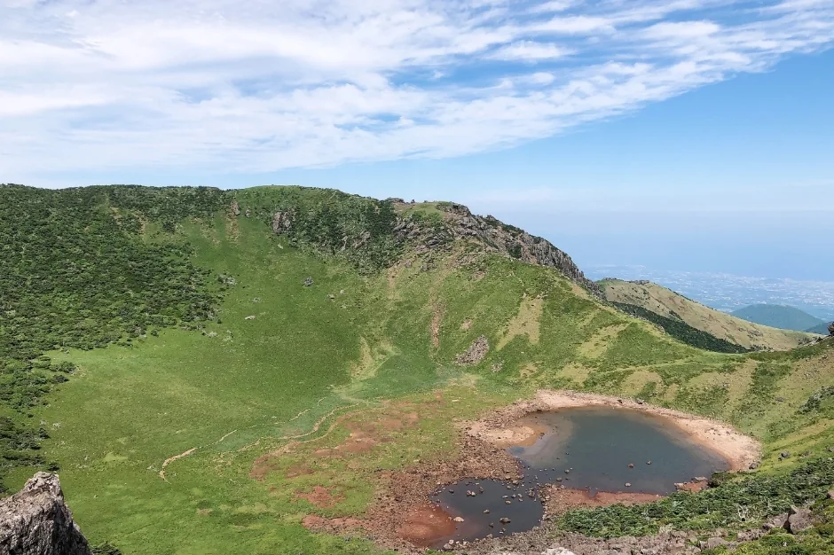
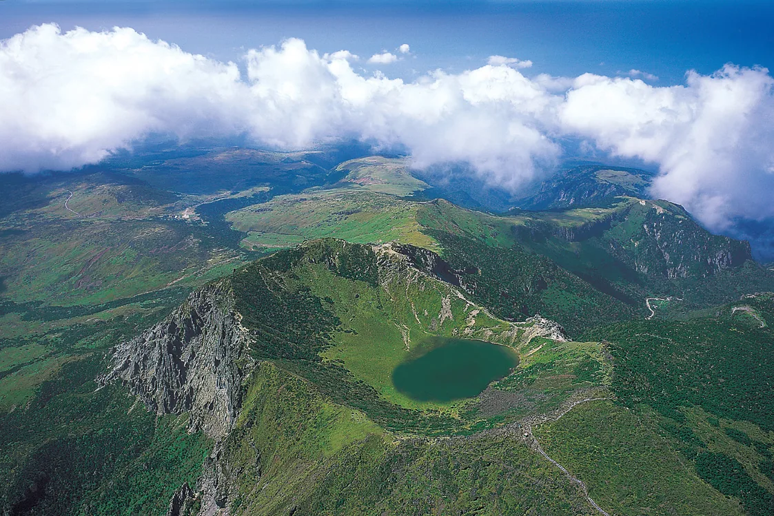
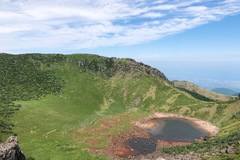
 Baengnokdam, the crater lake at the summit, seen from the East Ridge. Only the Seongpanak and Gwaneumsa trails get you here. ©Yoo Chung · CC BY-SA 2.5Baengnokdam, the crater lake at the summit, seen from the East Ridge. Only the Seongpanak and Gwaneumsa trails get you here. ©Yoo Chung · CC BY-SA 2.5
Hallasan Hiking Guide (Mount Halla)
Hallasan (Mount Halla) is the highest mountain in South Korea at 1,947 m, and it is effectively the whole island of Jeju. At the top sits Baengnokdam, a crater lake, and five trails run up the mountain inside Hallasan National Park. Only two of them, Seongpanak and Gwaneumsa, actually reach the summit. The other three stop at Witse Oreum or Nambyeok Junction, and that is where most foreign hikers' plans go wrong. Reservations apply to those two summit sections and nothing else, entry cut-offs are enforced at the control posts, and there is nowhere on the mountain to buy water.
Last checked 2026-08-06 · Hallasan National Park (jeju.go.kr/hallasan) and the Hallasan reservation system (visithalla.jeju.go.kr): official trail pages and notices
The name Hallasan comes from an old phrase meaning "high enough to pull down the Milky Way". Mount Halla is a shield volcano, so it spreads out in long gentle slopes rather than rising in peaks, and about 360 smaller cones (oreum) stand on its flanks. It became a national park in 1970. Hallasan National Park is run directly by Jeju Province (Hallasan National Park Office, World Heritage Office), not by the Korea National Park Service that manages Seoraksan or Jirisan. Reservations, opening hours and cut-off times therefore follow their own system, which catches out plenty of people who have hiked elsewhere in Korea.
Baengnokdam, the crater lake at the top, is roughly 1,720 m around the rim, about 108 m deep and about 550 m across. Those figures come from provincial and press sources, though, and they vary slightly between them. Core sampling puts the last eruption at least 19,000 years ago. Even the height is reported three ways: 1,947.06 m from a 2016 airborne lidar survey, 1,947.269 m from the National Geographic Information Institute triangulation point, and the older figure of 1,950 m. This page uses the rounded 1,947 m.
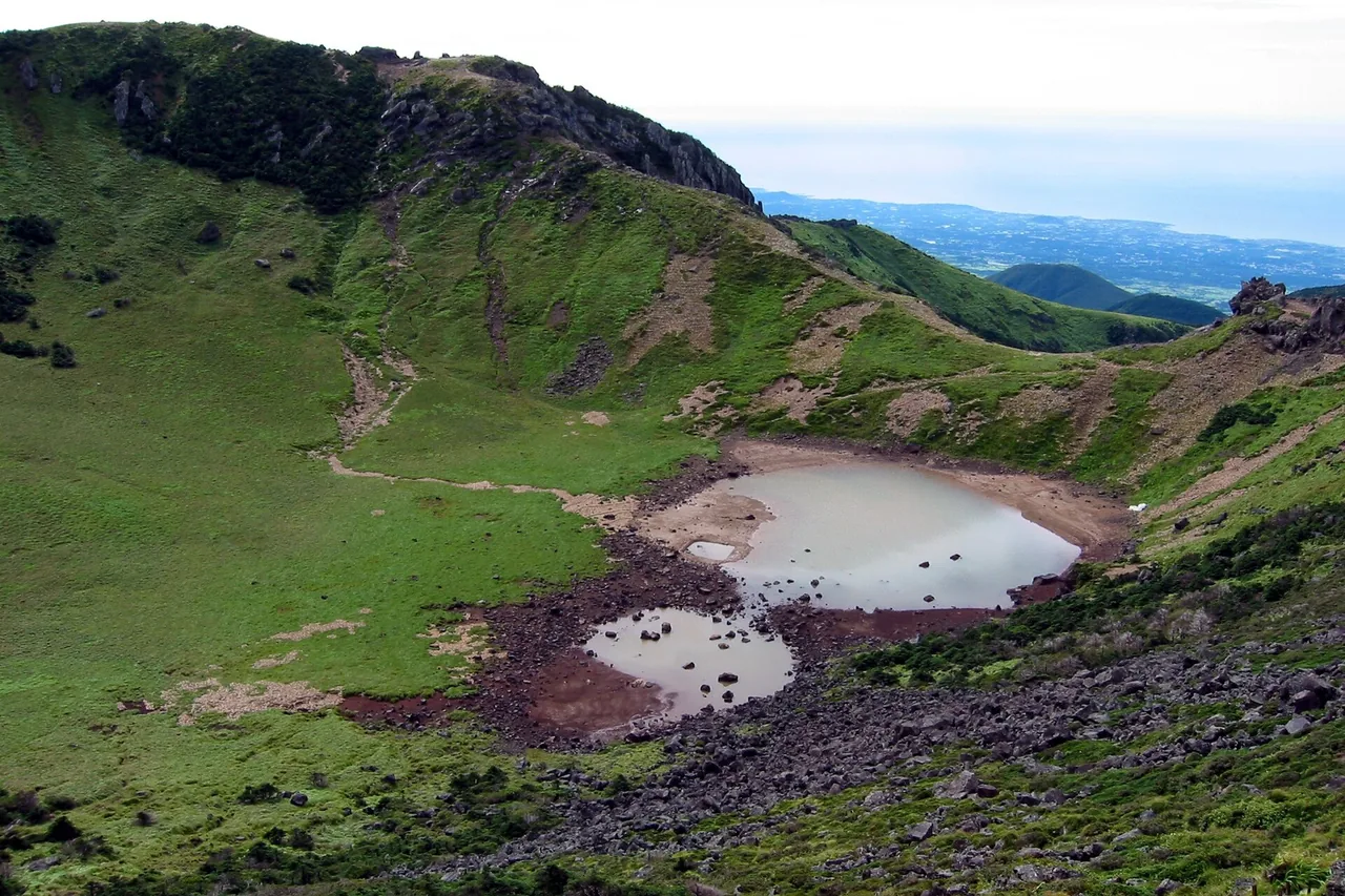
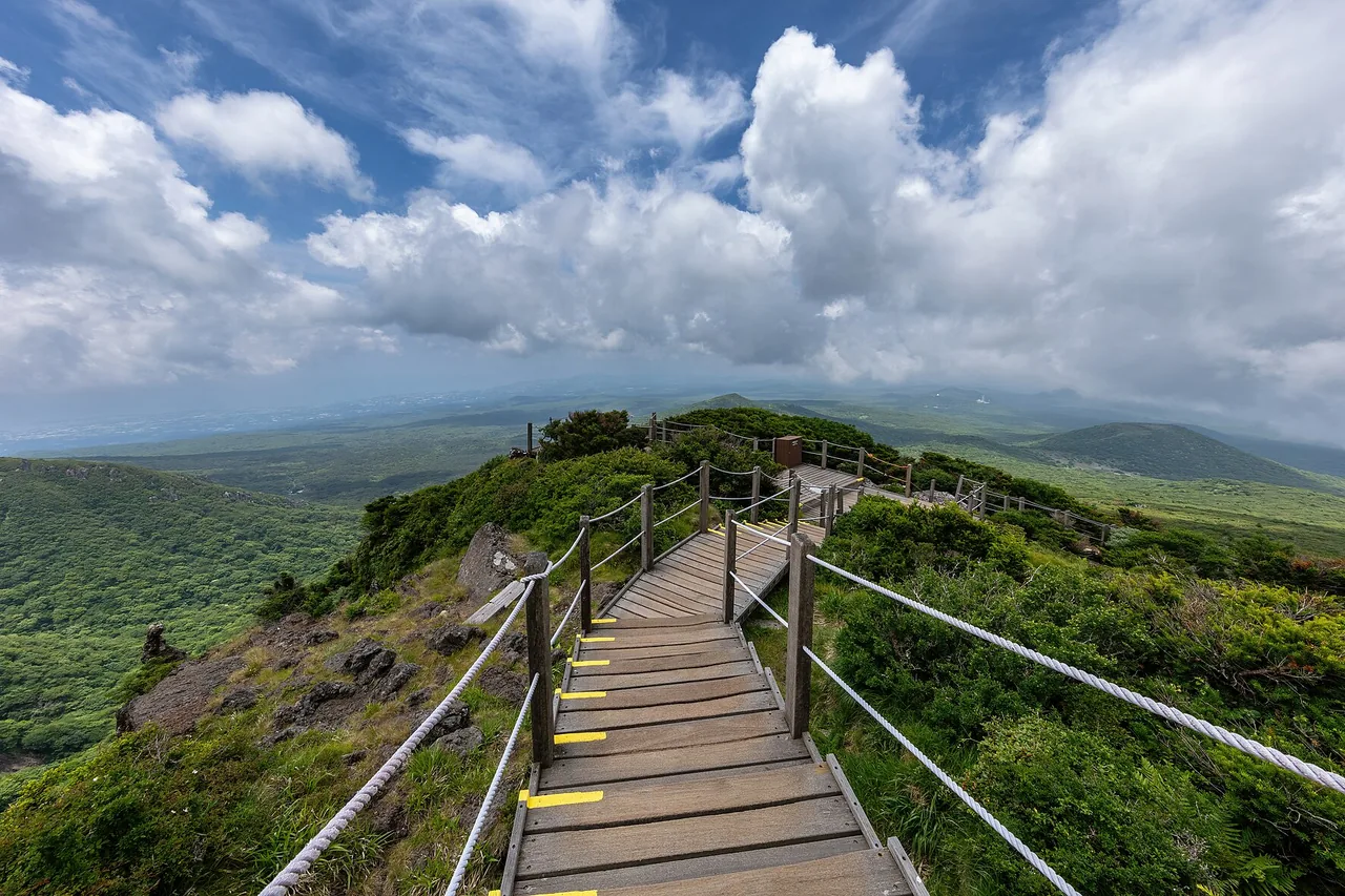
Hallasan has five trails (Seongpanak, Gwaneumsa, Yeongsil, Eorimok and Donnaeko) plus two short side trails, Eoseungsaengak and Seokguram. Only Seongpanak and Gwaneumsa reach the East Ridge summit and Baengnokdam. Yeongsil and Eorimok go as far as Witse Oreum and Nambyeok Junction; Donnaeko goes as far as Nambyeok Junction. The Nambyeok (south wall) climbing route does not connect to the summit because of rockfall risk. Many English-language pages get this wrong, so check which trail a route description is actually talking about before you book anything.
The Seongpanak Trail starts at the Seongpanak trail office at 750 m and passes Sokbat Shelter, the Sara Oreum junction and Jindallaebat Shelter on the way to the top. The gradient is mostly gentle. What wears people down is the distance: 9.6 km and 4h30 one way, so allow about 9 hours return. Jindallaebat Shelter is at 7.3 km, about 3h, and everything up to there is open without a reservation. At the 5.8 km mark a 600 m spur leads to the Sara Oreum viewpoint, which also needs no reservation. Most of the walk is through forest, with Korean fir stands and a good chance of seeing roe deer. Facilities: two shelters (Sokbat unstaffed, Jindallaebat staffed), three toilets (entrance, Sokbat, Jindallaebat), 156 parking spaces. Tel. +82-64-725-9950.
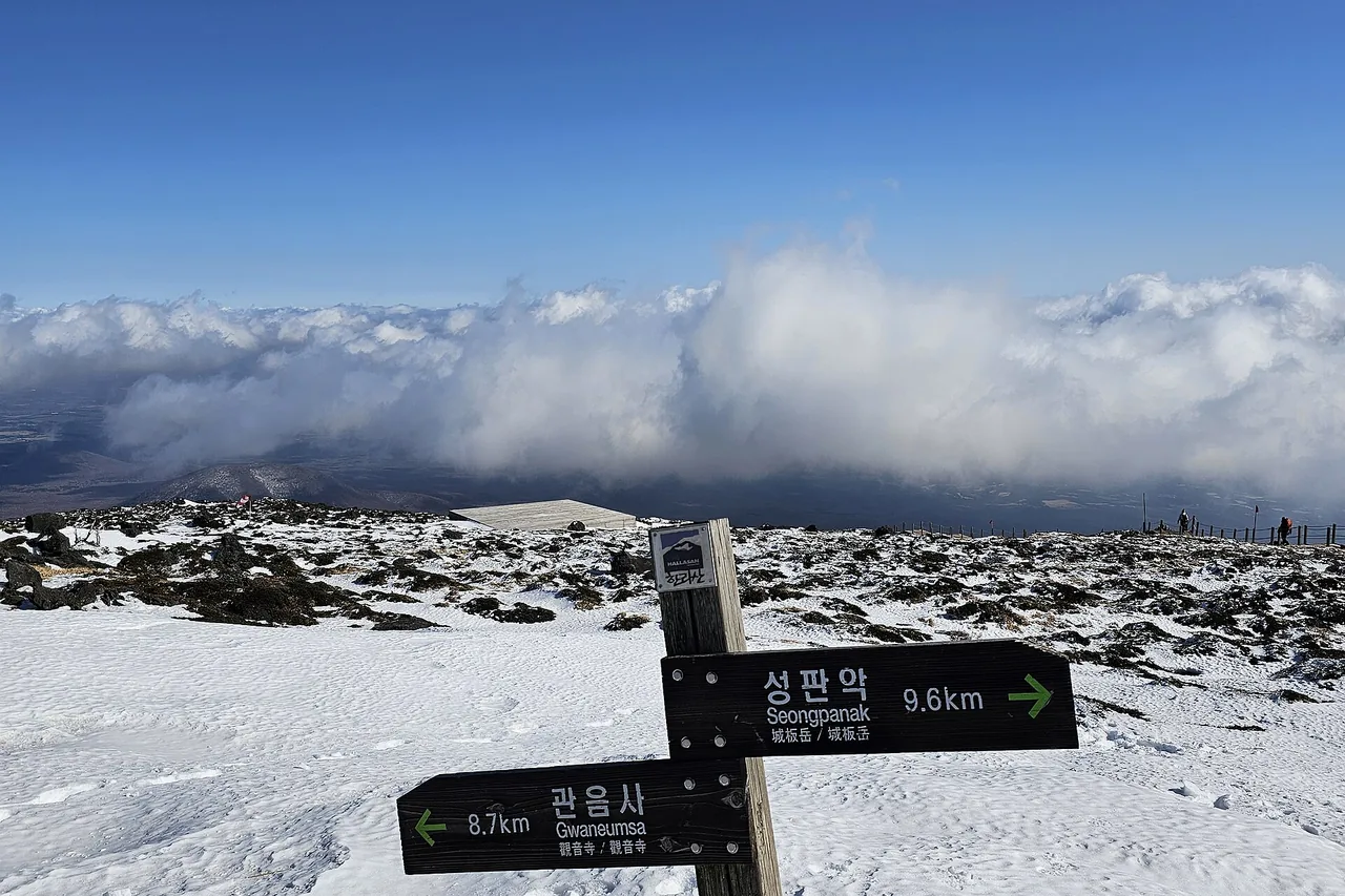
The Gwaneumsa Trail starts at the Gwaneumsa campground and climbs past Gurin Cave, Tamna Valley and Samgakbong Shelter to the summit. At 8.7 km it is shorter than Seongpanak, but the valleys are deep and the height gain is much greater, so it takes about 5h one way and 10h return, the hardest of the five trails. Samgakbong Shelter is at 6 km, with 2.7 km left to the top from there. This gradient is why experienced hikers usually use Gwaneumsa as a descent rather than an ascent. Parking 192 spaces (20 large, 158 standard, 5 accessible, 9 EV), three toilets (campground, Tamna Valley, Samgakbong). Tel. +82-64-756-9950. Note that from 1 August to 30 September 2026 the Samgakbong–summit section is fully closed, so this trail cannot take you to Baengnokdam during that period.
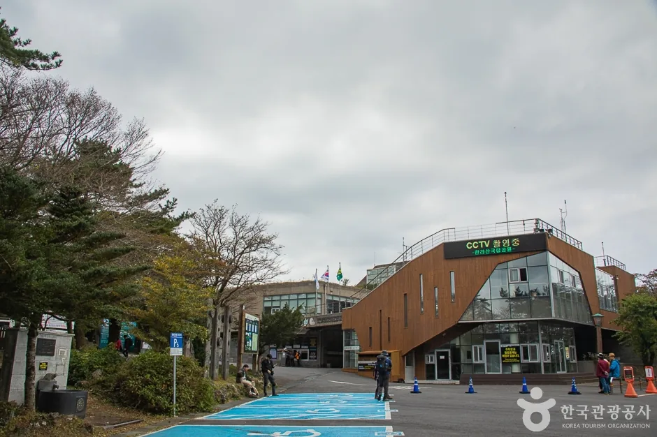
The Yeongsil Trail starts high, at the Yeongsil rest area at 1,280 m, and runs past the Yeongsil rock pillars (the "500 Generals") and Byeongpungbawi to Witse Oreum Shelter at 1,700 m, then across the Seonjakjiwat plateau to Nambyeok Junction at 1,600 m: 5.8 km and 2h30 one way, or about 1h30 if you turn back at Witse Oreum. It is the easiest of the five trails and, for most hikers, the best scenery. It does not reach the summit. From the Yeongsil ticket office you still have about 2.4 km up to the rest area, on foot or by car, which is why some sources quote 3h15 one way. Tel. +82-64-747-9950.
The full Yeongsil Trail guide › covers timings, cut-off times, bus #240, parking and what to carry.
The Eorimok Trail starts at the Eorimok trail office at 970 m and climbs past Sajebi Hill and Manse Hill to Witse Oreum Shelter in about 2 hours, continuing to Nambyeok Junction for a total of 6.8 km and about 3 hours one way. The first section up Sajebi Hill is fairly steep; above that it opens into gentle alpine grassland, and the Nambyeok loop is almost flat. There is a spring, Sajebisaem, but it can run dry in the dry season, so carry your own water. This trail does not reach the summit. Tel. +82-64-713-9950.
The Donnaeko Trail starts on the Seogwipo side at 500 m, the lowest trailhead on the mountain. It follows the Salchaegido and Sseogeunmultong valleys to Pyeonggwe Shelter at 1,450 m (5.3 km) and then 1.7 km more to Nambyeok Junction, making 7 km and about 3h30 one way, with 1,100 m of height gain. Because it runs from evergreen broadleaf forest all the way up to alpine plants, it is the best trail for seeing the full vertical range of Jeju's vegetation, and it is quiet. But there is no shop and no water source anywhere on it, and it has the earliest entry cut-off of the five trails. It does not reach the summit. Tel. +82-64-710-6920.
If you are planning a traverse (Seongpanak ↔ Gwaneumsa), work out how you will get back to your car first. The two trailheads are far apart, so leaving a rental car at one end means a bus or taxi back to it. During the August–September 2026 closure the traverse is not possible at all.
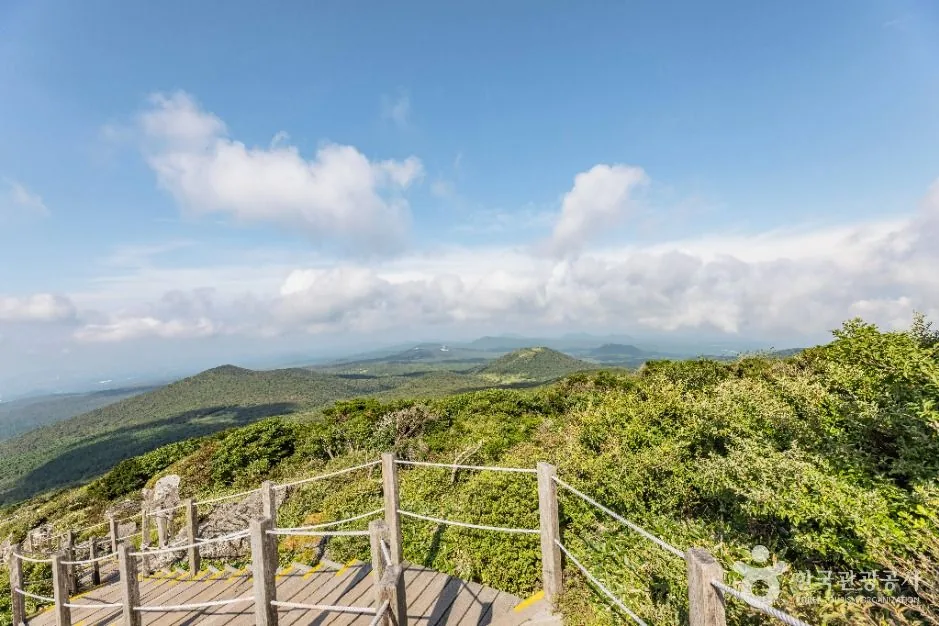
Both reach Baengnokdam and both need a reservation for the summit section, so the choice comes down to effort and logistics. Seongpanak is longer but easier and has the bigger daily quota, which makes it much easier to book; it is the default for a first Hallasan hike. Gwaneumsa is shorter on paper but far steeper, and it is closed above Samgakbong until 30 September 2026. If you want both, the usual plan is up Seongpanak and down Gwaneumsa, which the current closure rules out.
A Hallasan reservation is required only for the two summit trails — Seongpanak and Gwaneumsa — and you book it free on the official Hallasan National Park site. Since 3 May 2025 it covers less of the mountain than it used to. Today a Hallasan reservation is required for exactly two stretches: Seongpanak → Jindallaebat to Baengnokdam and Gwaneumsa → Samgakbong to Baengnokdam. Walking up to Jindallaebat Shelter (7.3 km), up to Samgakbong Shelter (6 km) or out to the Sara Oreum viewpoint needs no reservation, and neither do Yeongsil, Eorimok, Donnaeko, Eoseungsaengak or Seokguram. There is no way to reach the summit without one. Staff scan the QR code at the Jindallaebat and Samgakbong control posts.
Since 1 July 2024 the system has been simplified to two seasons, and every trail opens at 05:00, every day (the old three-tier system with 06:00 in winter and 05:30 in spring and autumn is gone). What matters now is the cut-offs. If you do not pass a control post before its cut-off time you are turned back on the spot, and at the descent times staff clear people off the summit and the junctions. These times were set after the assumed walking time from Jindallaebat and Samgakbong to the East Ridge summit was raised from 1h30 to 2h.
The two high-altitude shops, at Jindallaebat (1,500 m) and Witse Oreum (1,700 m), closed in January 2018, and nothing replaced them. No shop, no vending machine, no drinking-water dispenser anywhere on the upper mountain. The shelters give you a roof and a bench, and they sell nothing at all. Older blog posts still rave about the cup noodles at Witse Oreum, which is where a lot of visitors come unstuck: every litre of water and every mouthful of food has to be carried up from the trailhead. Eating is not allowed at the summit itself, only in the shelters. Self-heating lunch boxes are permitted; heat packs for cooking in a pot are not.
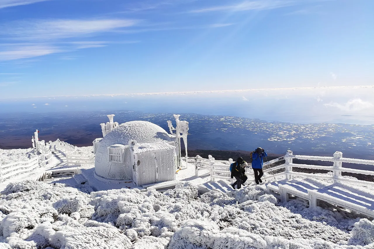
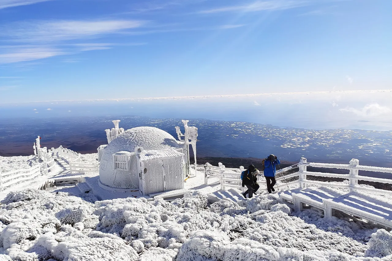
January and February are the peak of the snow and rime ice, and they are also when Hallasan is busiest. Crampons and a headlamp are listed as required equipment in the park's official winter notice; gaiters, poles, gloves and spare layers are recommended. In winter the entry and descent cut-offs run an hour earlier than in summer: entry closes at 11:30 on Seongpanak and Gwaneumsa, and the summit is cleared at 13:30. Darkness comes early too, so a 05:00 start is the plan rather than an option. Full closures during heavy-snow warnings are common, so check the real-time trail status before you leave, and do not hike alone: the park specifically advises going in a group in winter.
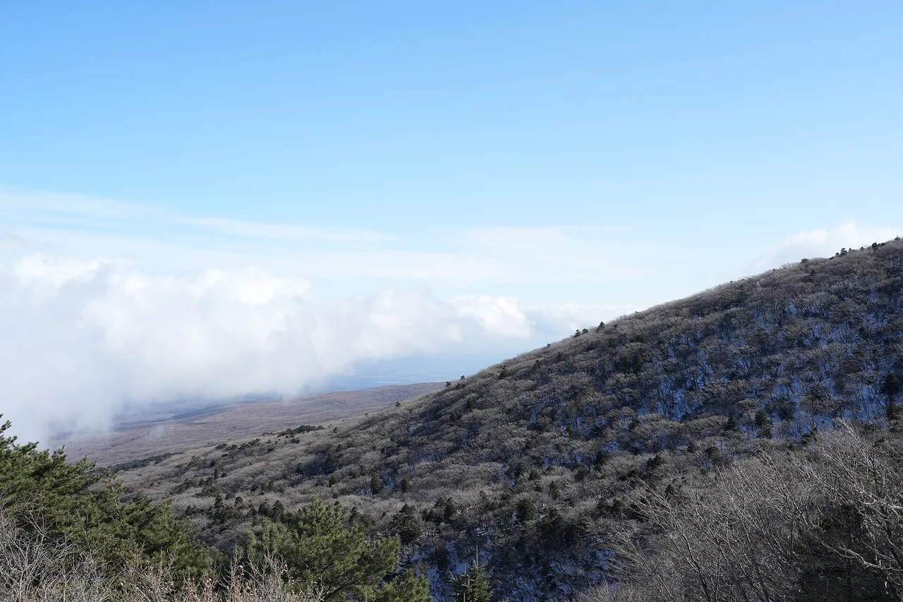
Set your navigation to the trailhead name: Seongpanak Trail Office (1865 516-ro, Jocheon-eup, Jeju-si), Gwaneumsa Campground (588 Sallokbuk-ro, Jeju-si), Eorimok Trail Office (2070-61 1100-ro, Jeju-si), Yeongsil Trail (Hawon-dong, Seogwipo-si) and Donnaeko Trail Office (Sanghyo-dong, Seogwipo-si). Remember that at Yeongsil you still have 2.4 km from the ticket office up to the rest area, that Seongpanak often fills before dawn at weekends, and that a Seongpanak↔Gwaneumsa traverse leaves you with no way back to your car.
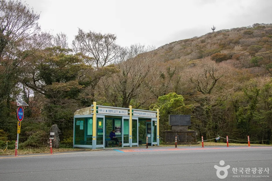
Everything runs from Jeju Bus Terminal (the intercity terminal in Jeju City). Seongpanak: bus #281, about 30 minutes (about 40 minutes from Seogwipo). Eorimok: bus #240, about 35 minutes. Yeongsil: bus #240, about 50 minutes (about 30 minutes from Jungmun Rotary). Gwaneumsa: no direct bus, so take #281 to Jeju National University (about 25 minutes) and change to #475 (about 15 minutes); #475 runs roughly hourly, so check the timetable first. Donnaeko: local Seogwipo buses #611 and #612, about an hour from the terminal. There is no official route listed from Jeju Airport; the express #181 is shown as calling at the airport and Seongpanak, but Jeju's bus network is reworked often, so check bus.jeju.go.kr on the day.
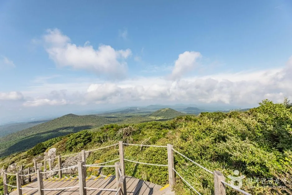
There is almost nothing to stay in at the trailheads themselves, so there are three practical bases. Jeju City is within about 30 minutes of Seongpanak, Gwaneumsa and Eorimok, which makes it the obvious choice if you are going for the summit. Seogwipo or Jungmun is closer to Yeongsil and Donnaeko. Gwaneumsa campground lets you sleep at the trailhead and start immediately: 9,000 KRW for a large pitch, 7,000 KRW for a medium one, with a coin shower on site.
Q. Which Hallasan trails actually reach the summit?
Only two: Seongpanak (9.6 km, 4h30 one way, about 9h return) and Gwaneumsa (8.7 km, about 5h one way, about 10h return). Both need a reservation for the summit section. Yeongsil (5.8 km), Eorimok (6.8 km) and Donnaeko (7 km) end at Witse Oreum or Nambyeok Junction and do not connect to the top; the Nambyeok climbing route is closed because of rockfall risk. If a route description does not name Seongpanak or Gwaneumsa, it is not a summit route.
Q. Do I need a reservation to hike Hallasan?
Only for the summit sections. Since 3 May 2025 the reservation covers Jindallaebat to Baengnokdam on Seongpanak and Samgakbong to Baengnokdam on Gwaneumsa. The 7.3 km up to Jindallaebat, the 6 km up to Samgakbong, the Sara Oreum viewpoint, and the Yeongsil, Eorimok, Donnaeko, Eoseungsaengak and Seokguram trails all need no reservation. Book at visithalla.jeju.go.kr: it opens at 09:00 on the first business day of each month for the following month, with a daily quota of 1,000 on Seongpanak and 500 on Gwaneumsa and a maximum of 4 people per booking. Miss your slot without cancelling and you are blocked for 3 months, or a year on a second offence.
Q. Can I climb Baengnokdam in August and September 2026?
Yes, but only via Seongpanak. The Samgakbong-to-summit section of the Gwaneumsa Trail is fully closed from 1 August to 30 September 2026 for rockfall-prevention works. During that period you cannot go up Seongpanak and down Gwaneumsa either, so you have to descend the way you came. No detour is possible on that section, so there are no exceptions. Check the notices at visithalla.jeju.go.kr in case the closure is extended.
Q. Can I buy water or food on the mountain?
No. The two high-altitude shops at Jindallaebat and Witse Oreum closed in January 2018, and there is now no shop, vending machine or water dispenser anywhere on the upper mountain. The shelters are eating space only and sell nothing. Carry all your water and food up with you. The only trailhead shops are at the Yeongsil rest area and the Gwaneumsa rest area. Eating is not allowed at the summit itself, only in the shelters.
Q. What gear do I need for Hallasan in winter?
Crampons and a headlamp are listed as required in the park's official winter notice; gaiters, poles, gloves and spare layers are recommended. January and February give the best snow, but the winter entry and descent cut-offs are an hour earlier than in summer and darkness comes early, so plan on a 05:00 start. Full closures during heavy-snow warnings are common, so check the real-time trail status before you set off, and note that the park advises against hiking alone in winter.
Q. What time can I start, and when do I have to be back?
Every trail opens at 05:00, every day (in force since 1 July 2024). Entry cut-offs are 11:30 in winter and 12:30 in summer for Seongpanak and Gwaneumsa, 12:00 / 15:00 for Eorimok and Yeongsil, and 10:00 / 11:00 for Donnaeko. Staff clear the East Ridge summit at 13:30 / 14:30, Nambyeok Junction at 14:00 / 15:00 and Witse Oreum at 15:00 / 17:00. One caution: the official notice defines winter as October to March and summer as April to September, while some trail pages give summer as May to August. If you are hiking in April, September or October, call +82-64-713-9950 to confirm which set applies.
Q. How do I get to the trailheads by bus?
All routes start from Jeju Bus Terminal. Seongpanak: #281, about 30 minutes. Eorimok: #240, about 35 minutes. Yeongsil: #240, about 50 minutes. Gwaneumsa has no direct bus: take #281 to Jeju National University (about 25 minutes) and change to #475 (about 15 minutes), which runs roughly hourly. Donnaeko: local Seogwipo buses #611 or #612, about an hour. Jeju's bus network is reorganised frequently, so confirm on bus.jeju.go.kr on the day.
Q. When is the best time of year to hike Hallasan?
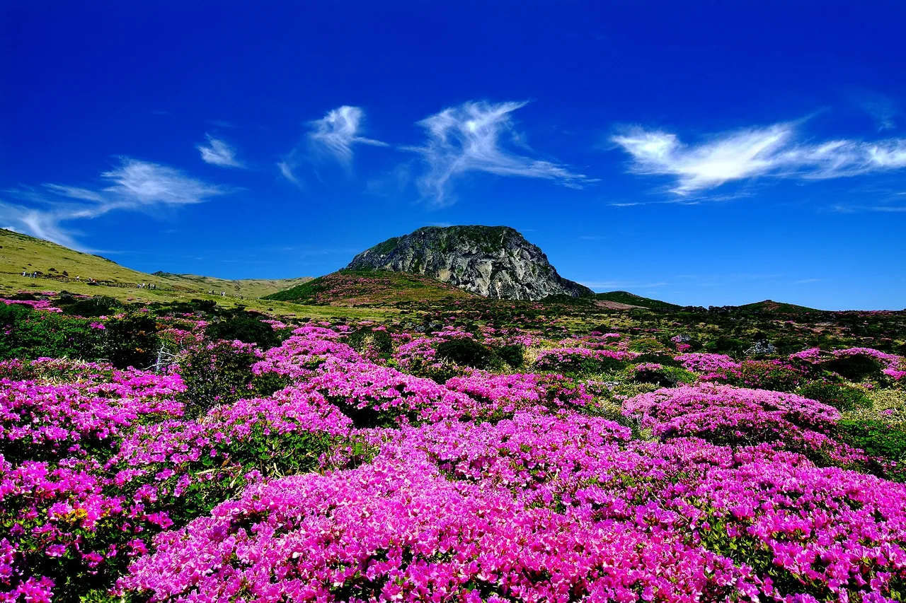
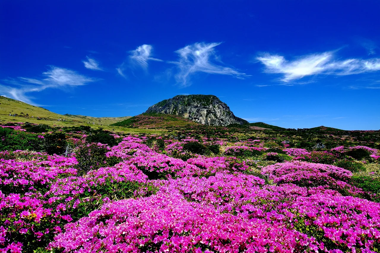
For flowers, late April to early May (dwarf azaleas) and mid-May to mid-June (royal azaleas), both on the Yeongsil and Eorimok trails rather than the summit trails. For snow, January and February, with crampons and a headlamp. Summer gives you an extra hour on the cut-off times but the most weather closures. Autumn is quieter, though we cannot confirm peak foliage dates from an official source; note that winter cut-off times may already apply from October.