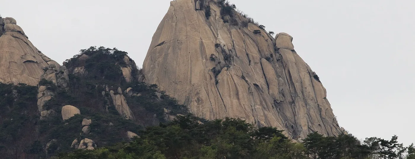
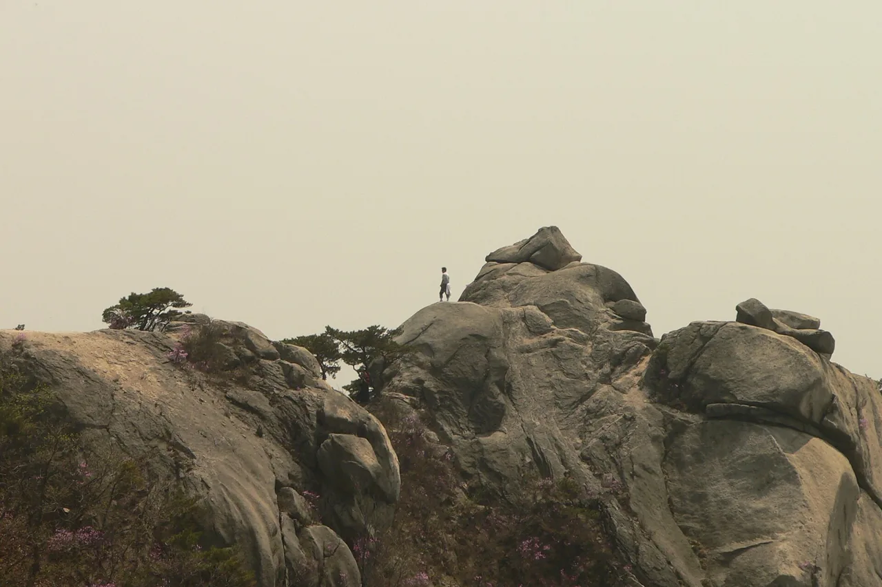
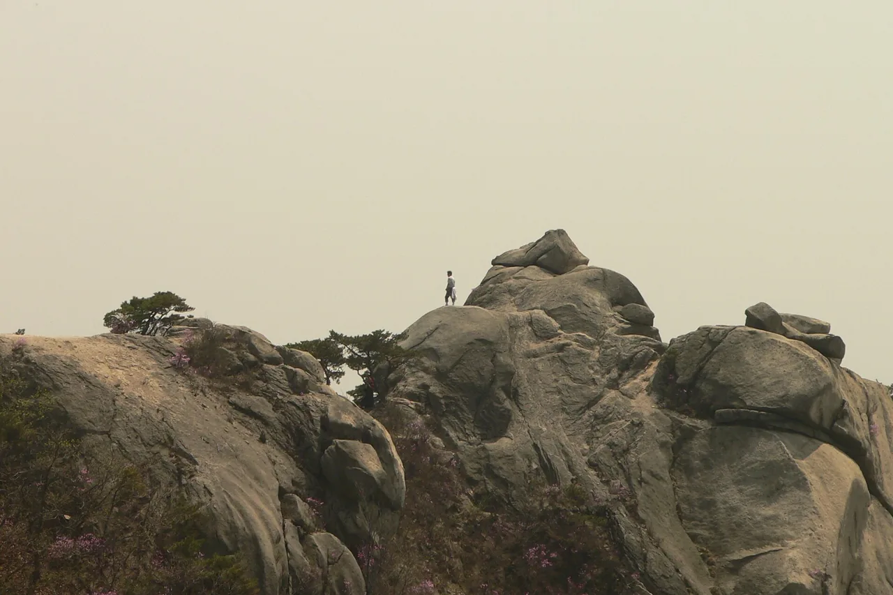
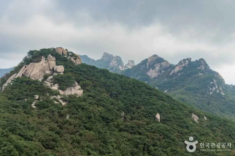
 Insubong in spring. The dome is climbing terrain only — there is no walking trail up it. ⓒWikimedia Commons · CC BY-SA 4.0Insubong in spring. The dome is climbing terrain only — there is no walking trail up it. ⓒWikimedia Commons · CC BY-SA 4.0
Bukhansan Hike (Mount Bukhan)
Bukhansan is a national park inside Seoul. Its summit, Baegundae, is 836 m, and you reach the trailhead by subway. No car, no intercity bus, no overnight trip. Three granite peaks stand together at the top of the massif: Baegundae, Insubong and Mangyeongdae, which is why the mountain's older name is Samgaksan, "three-horn mountain". The park holds 164.9 km of marked trail across 11 trailhead sections, so the practical question is not whether to go but which side to walk up.
Last checked 2026-08-06 · Korea Forest Service trail geodata · Korea National Park Service · cross-checked against the Korean edition of this page
Seoul is a city of more than nine million people, and Bukhansan National Park sits inside its northern boundary, spilling over into Goyang next door. That is the whole point of the mountain. You take the subway, walk a few hundred metres from the exit, and you are on a granite trail. It was designated a national park in 1983, and it is the most-walked mountain in Korea.
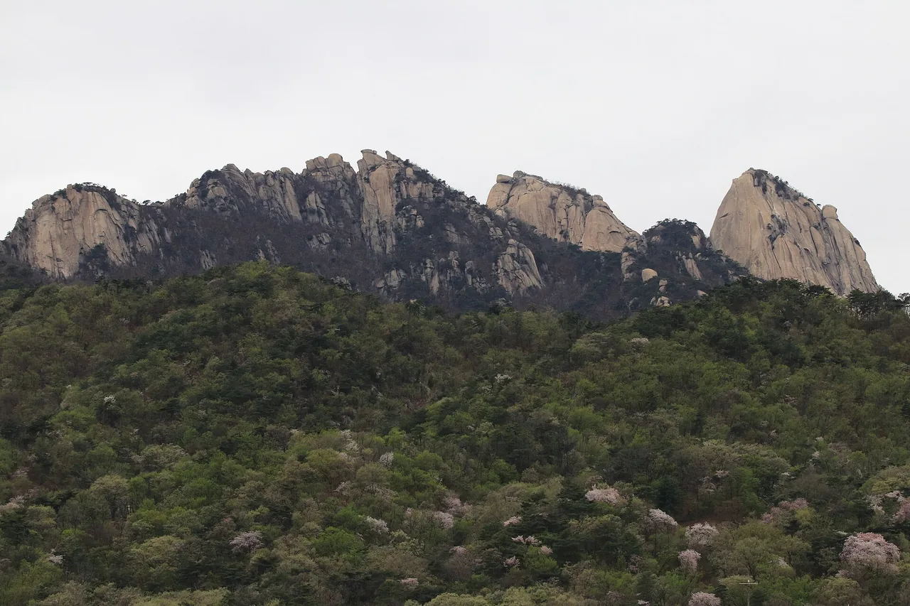
The high ground is granite. Baegundae (836 m) is the summit and the one you can walk to. Insubong, the pale dome in the photo above, has no hiking trail at all. It is climbed with rope and helmet, and on a weekend you will see climbers stuck to it like dots. Mangyeongdae stands beside them, completing the trio that gave Mount Bukhan its old name. The fortress wall of Bukhansanseong Fortress, built under King Sukjong of Joseon, loops around the southern half of the massif and is a walking route in its own right.
The scale is the part people underestimate. Korea Forest Service data records 164.9 km of trail here, spread over 11 separate trailhead sections. Ten visits can be ten different mountains.
Four approaches cover almost everything a visitor would want. Pick by how much time you have and whether you want the summit.
The 11 trailheads also mean you do not have to come down the way you went up. Walking up from Ui-dong and down to Gugi-dong, or the reverse, is the classic full day on this mountain.
This is the western approach, from the Bukhansanseong entrance on the Goyang side. The route follows the Joseon-era fortress wall from gate to gate, which means steady climbing with long stretches of stonework rather than sustained rock. It is the longest of the standard routes and the one with the most to look at that is not a view.
Both are Korea Forest Service standard routes. Note that the second one finishes at the summit and drops down the Ui-dong side, so plan your return from a different station than the one you arrived at.
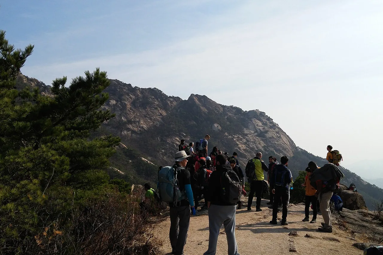
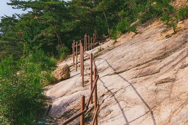
From Bukhansan Ui Station you walk up past the Doseonsa temple entrance to the Baegundae trail support centre, then Harujae saddle, the Baegundae shelter and the Baegunbong-ammun gate, and from there onto the summit rock. About 4.2 km return, 2 to 3 hours. Short, but not gentle: from the gate to the top you are on open granite holding steel cables and railings, and gloves are worth having.
In 2024 the park added five more safety railings on the steep summit slabs and separated the up and down lines of travel, so the weekend bottleneck is not what it used to be. It is still a queue on a Sunday morning in October.
The Baegundae Peak page covers this route in full: the cable section, the view, the crowds, winter.
The Jeongneung and Bulgwang-dong sections are the short ones: roughly 0.7 to 1.4 km of trail each in the Forest Service data, which makes them a warm-up or a half day rather than a summit day. The Jeongneung valley itself is the draw, with shade and running water that matter in a Seoul August. Serious distance on this mountain sits in the Ui-dong section (7.1 km) and the Hyoja-dong section (5.8 km).
From Jeongneung you can also work up onto the Hyeongjebong and Bohyeonbong ridge toward the Daeseongmun gate, which is the lower half of the seven-hour traverse listed above. If you want a Bukhansan walk with no scrambling and no crowd, this side is the answer.
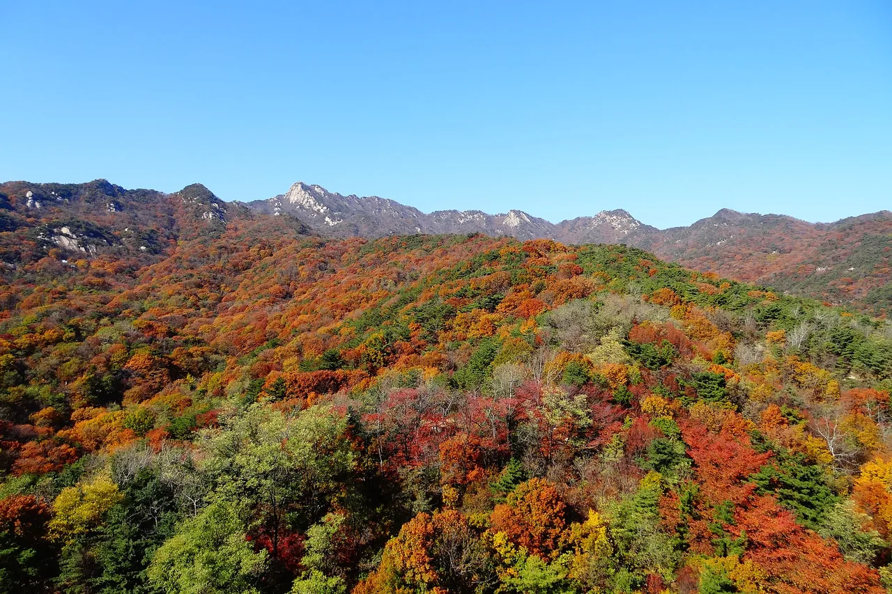
Baegundae is the high point of Bukhansan at 836 m and the only one of the three granite peaks with a walking route to the top. The standard way up is the Ui-dong route above; the standard reason people turn back is the last 200 m or so of bare rock, where the trail becomes a line of steel cables and railings bolted into granite. It is not technical and it needs no equipment, but you use your hands and there is exposure.
No reservation is required for Baegundae. The cable section, what the top actually looks like, the weekend crowds and winter conditions are all covered on the Baegundae Peak page.
In pure fitness terms this is a half-day mountain, not an expedition. The summit is 836 m and the shortest route is 4.2 km there and back. Most reasonably fit people walk it in 2 to 3 hours including stops.
What makes it hard is the ground, not the distance. Bukhansan is a granite mountain and the trails reflect that: rock steps, slabs, and on the summit approach a section where steel cables and railings replace anything you would call a path. If you are uneasy with heights or exposure, that section will slow you down, and stopping at the Baegunbong-ammun gate is a perfectly ordinary decision. Trail runners share this ground with first-timers, so do not read the size of the crowd as a measure of how easy it is.
The Bukhansan map below was drawn by Sandogam from Korea Forest Service trail geodata, laid over shaded terrain with 100 m contours. ▲ marks a trailhead, ★ marks the summit. It shows all 11 trailhead sections at once, which is the quickest way to see how the Ui-dong, Bukhansanseong, Gugi-dong and Jeongneung approaches meet along the ridge.
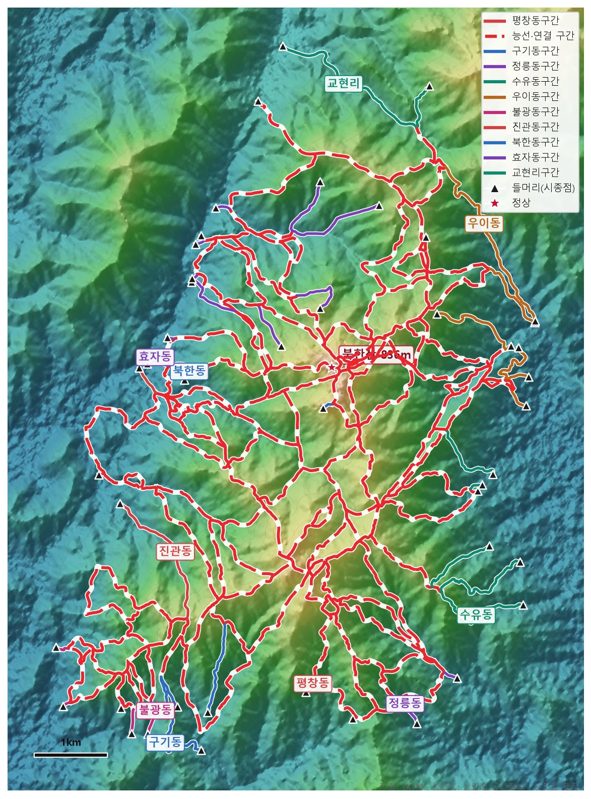
🗺 Open the full-size trail map
Junction signs on the mountain are mostly in Korean, with peak and gate names transliterated inconsistently. Having the track loaded on your phone before you start is worth more here than it is on a European waymarked trail.
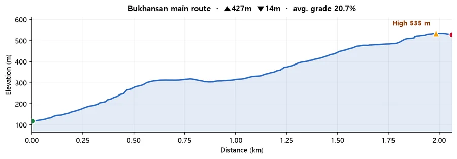
Calculated from SRTM terrain elevation (DEM) over 2.06 km. A moving average and a 4 m threshold are applied to damp GPS noise, so the figures run conservative rather than inflated. Drawn from the Korea Forest Service trail data by taking the path with the most total climbing, so it is the hard end of what the mountain asks of you. On some mountains the trail data stops short of the summit, so the highest point here can sit below the official summit elevation.
Winter is a real season on this mountain rather than an off-season, and the granite is the reason to take it seriously. When the summit slabs ice up, the Baegundae approach turns dangerous and crampons stop being optional. Bring them even if the city pavements are clear. The top holds ice long after Seoul has thawed.
Because it is a national park, trails are closed outright in bad weather, and the closure goes up on the Korea National Park Service site. Check it the morning you go, along with the Korea Meteorological Administration mountain forecast. Days are short, nothing is sold on the mountain, and the Baegundae shelter route has no shop — start early and carry your own water.
Separately from weather: Korea closes some trails during the spring fire-prevention period. In 2026 that ran 3 March to 15 May and affected only one section, on the Dobongsan side between the Darakwon entrance and Eunseogam. Baegundae was not included. Rockfall and weather closures, though, are posted at short notice.
If you want the forest without the summit, the Bukhansan Dulle-gil is a 71.8 km low-level loop in 21 numbered sections that circles the foot of Bukhansan and neighbouring Dobongsan. It runs horizontally along the lower slopes instead of climbing, so there is no rock and very little gradient. Individual sections run from 1.5 km to 6.8 km, each one starts and ends near a station or a bus stop, and most people walk them one at a time rather than end to end.
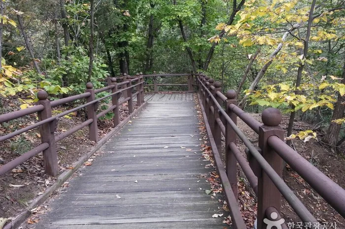
One exception: section 21, Uiryeong-gil, runs on the park's reservation system and requires ID. The other 20 sections are free to walk with no booking. Full section-by-section detail is on the Korean page linked above.
Every approach is subway plus a short bus, or subway plus a walk. Nothing here needs a car or a tour. Times from central Seoul run roughly 40 to 70 minutes depending on the side.
Bus numbers on these routes have been reorganised before and can change again. If a number does not match the stop sign, ask at the station or check a live transit app before boarding.
There is no need to stay near the mountain. Bukhansan is inside Seoul, so hikers normally sleep in the city and go out first thing. If you are coming from elsewhere in Korea, the Suyu and Bulgwang areas put you closest to the trailheads and both are on the subway.
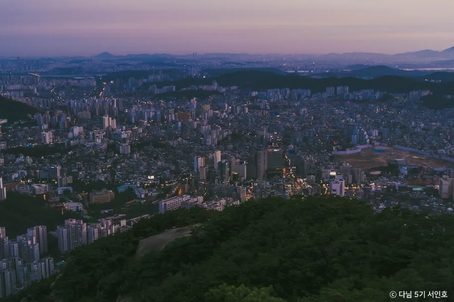
Dobongsan (740 m) shares the same national park to the north. The old Uiryeong-gil path, on the reservation system, links the two. Its rock peaks, Jaunbong and Seoninbong, have a different character from Bukhansan's domes.
Gwanaksan (632 m) faces Bukhansan from the south side of the Han River. It is granite again, and it is reachable by subway again, which makes it the obvious second day if the first one goes well.
Q. How do I get to Bukhansan from central Seoul?
By subway plus a short bus, depending on which side you want. For Baegundae Peak: Bukhansan Ui Station on the Ui LRT, exit 2, then walk. For the Bukhansanseong fortress loop: Gupabal Station (Line 3) exit 1, then bus 704. For Jeongneung: Gireum Station (Line 4) exit 3, then bus 143 or 110B. For the Bibong ridge at Gugi-dong: Bulgwang Station (Lines 3 and 6) exit 2, then bus 7022 or 7211. Allow roughly 40 to 70 minutes from the centre.
Q. How long does a Bukhansan hike take?
The shortest summit route, Ui-dong to Baegundae and back, is about 4.2 km and takes 2 to 3 hours. The full fortress wall circuit from the Bukhansanseong entrance is about 7 hours, as is the traverse from the Bukak Tunnel over Hyeongjebong to Baegundae and down to Ui-dong. The Bibong ridge loop from Gugi-dong is about 4 hours 20 minutes.
Q. Is Bukhansan hard?
Physically it is a half-day walk rather than an endurance day: 836 m of summit and 4.2 km return on the shortest route. The difficulty is the ground. It is a granite mountain, and the final stretch to Baegundae is bare rock with steel cables and railings where you climb with your hands. If exposure bothers you, stop at the Baegunbong-ammun gate, or take the fortress wall route instead, which has none of it.
Q. Do I need a reservation or a permit for Bukhansan?
No. There is no entrance fee and no booking for Baegundae or any of the main routes as of 2026-08-06. The single exception in the park is Uiryeong-gil, between Ui-dong and Gyohyeon-ri, which runs on a reservation system and requires ID. Weather and rockfall closures do get posted at short notice, so check the Korea National Park Service site on the morning you go, or call the park office on +82 2-909-0497.
Q. What do I need for Bukhansan in winter?
Crampons — on this mountain they are effectively mandatory rather than a nice extra, because the summit slabs ice over and stay iced long after the city has thawed. Add gloves, layers and a head torch for the short days. Trails are closed outright in bad weather, so check the park service notices before you set out, and remember nothing is sold on the mountain.
Q. I have never hiked in Korea. Where should I start on Bukhansan?
Two sensible options. If you want the summit, do Ui-dong to Baegundae. It is short, well used, and easy to abandon at the gate if the rock section turns out not to be for you. If you would rather not scramble, walk the fortress wall between the Daenammun and Daedongmun gates from the Bukhansanseong side, or take the Jeongneung valley, which is shaded and quiet. Either way, start early at weekends and carry your own water.
Q. What are the steel cables on the way to the summit?
On the last section from the Baegunbong-ammun gate to the top of Baegundae, the trail crosses open granite slabs. Steel cables and handrails are bolted into the rock and you pull yourself along them. No equipment or experience is needed and it counts as a walking route rather than a climb, but it is hands-on, there is drop below you, and it is slow when busy. Five more railings were added in 2024 and the up and down lines were separated, which helped the queues.