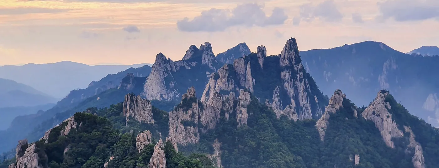
 Dinosaur Ridge, the rock spine that divides Inner and Outer Seorak. The full traverse over it is 19.1 km and about 14h40. ©Taewangkorea · CC BY-SA 4.0Dinosaur Ridge, the rock spine that divides Inner and Outer Seorak. The full traverse over it is 19.1 km and about 14h40. ©Taewangkorea · CC BY-SA 4.0
Seoraksan Hiking Guide (Mount Seorak)
Seoraksan (Mount Seorak) is the third-highest mountain in South Korea, with Daecheongbong Peak at 1,708 m, and the most rugged of the country's national parks. Seoraksan National Park became Korea's fifth national park in 1970 and a UNESCO Biosphere Reserve in 1982, and it holds 131.1 km of marked trail. Dinosaur Ridge splits it in two: Inner Seorak to the west, Outer Seorak to the east, with Osaek on the southern side. Which trailhead you choose decides what kind of day you get, so on Mt Seoraksan that decision is half the planning.
Last checked 2026-08-06 · Korea National Park Service: Seoraksan National Park official course figures, entry-time and closure notices (checked July 2026), plus Korea Forest Service open data on the 100 famous mountains
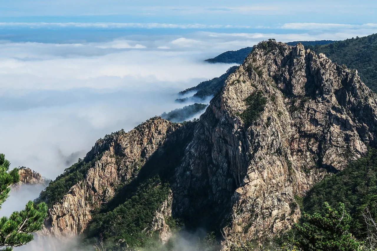
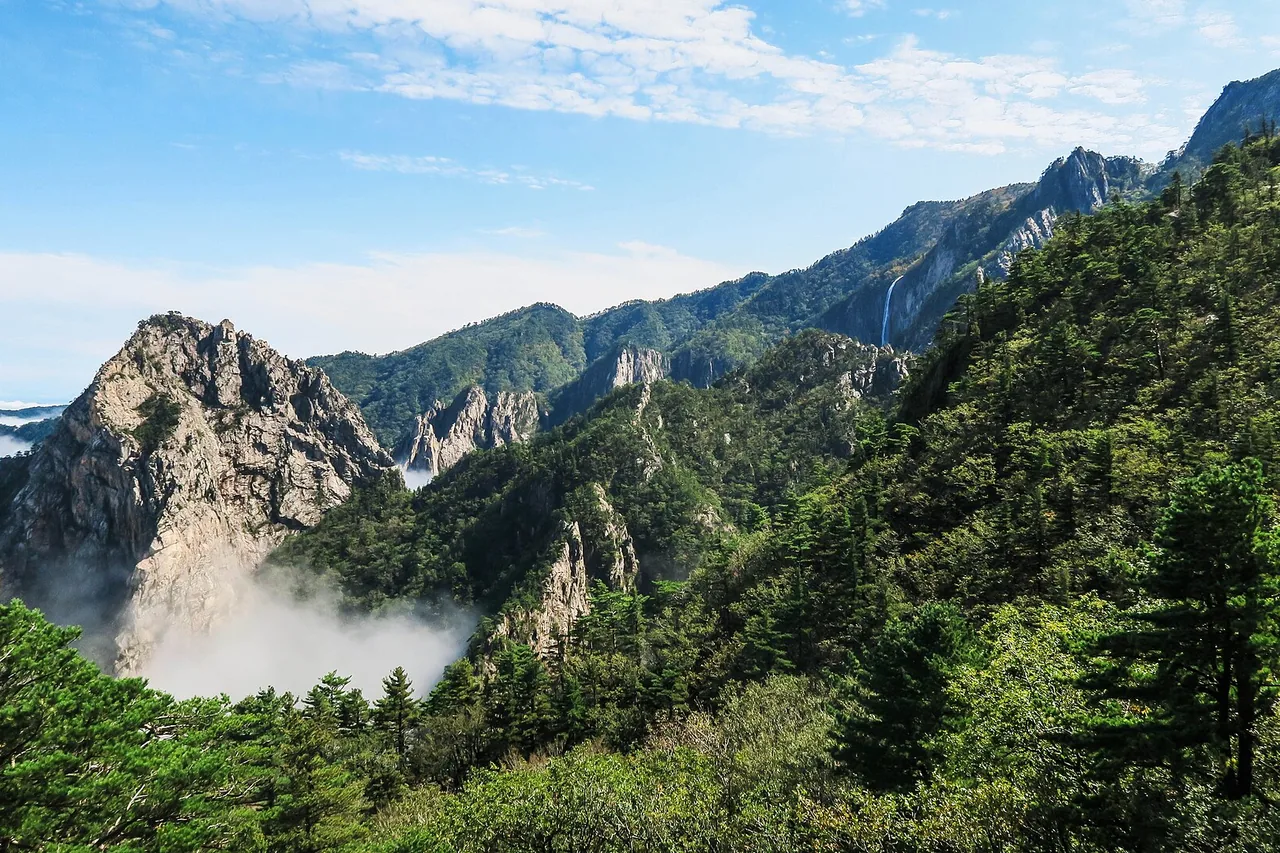
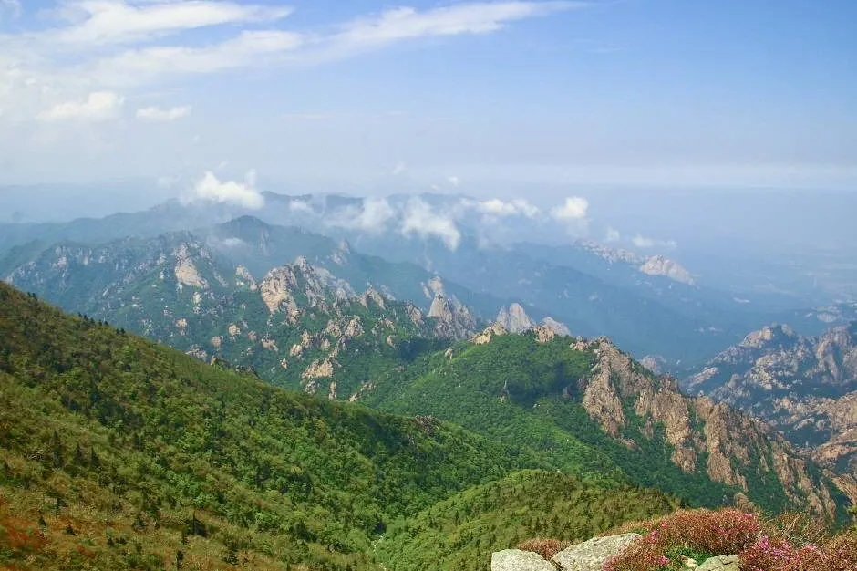
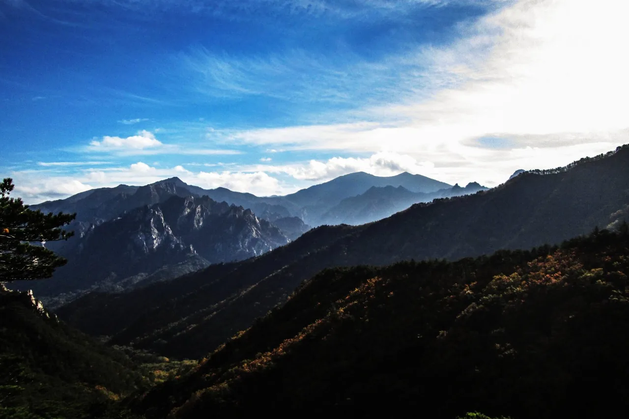
Dinosaur Ridge, on the Baekdudaegan watershed, divides the park. West of it, Inner Seorak holds the deep valleys: Baekdam, Suryeomdong, Sibiseonnyeotang. East of it, Outer Seorak holds the rock scenery most visitors come for: Cheonbuldong Valley, Ulsanbawi Rock and Gwongeumseong Fortress, all reached from the Sogongwon park entrance above Sokcho. South of the summit, Osaek is a hot-spring village and the shortest way up to Daecheongbong. The three sides look like different mountains.
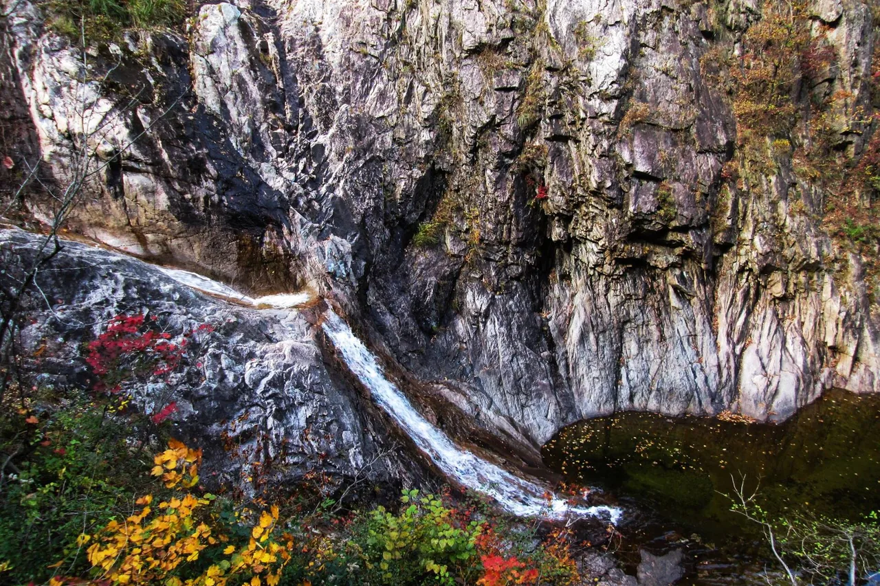
The Korea Forest Service calls Seoraksan "the Alps of Korea", and rates it above Geumgangsan for mountaineering even though it is 72 m lower. It is the one mountain in South Korea that climbers use as a winter training ground, and the walls of Towangseong Falls and Ulsanbawi Rock are where Korean rock climbing started. Waterfalls belong to the same story; Towangseong, Daeseung and Biryong are all on this mountain.
All the distances and times here are official Korea National Park Service figures. Settle one question first: do you want the summit at all? Three trails reach Daecheongbong Peak, and the two things most visitors have heard of, the cable car and Ulsanbawi Rock, do not. There is no reservation system for the summit trails, so the limits are the entry times, the fire-prevention closures and your legs.
From the Namseorak trail support centre at Osaek to Daecheongbong is 5.0 km and 4 hours one way, 10 km and 8 hours return, both Korea National Park Service figures. From April to October entry opens at 03:00, which is why this is the route people use for sunrise on the summit. Do not read the short distance as an easy walk: it is steep stone steps from the first minute to the last, and the height gain is over 1,300 m. Starting early on a day walk, you are back down in the afternoon.
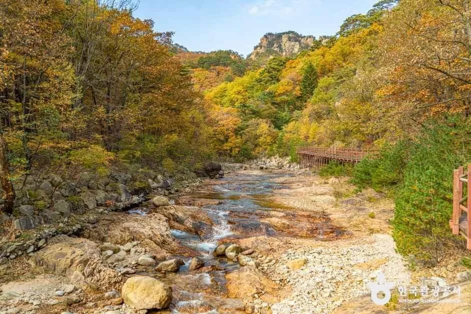
From the Sogongwon park entrance on the Sokcho side the route runs up Cheonbuldong Valley through its waterfalls and gorges: 11.0 km and about 6h40 one way. The official section figures are Sogongwon to Biseondae 3.0 km (1h20), Biseondae to Huiungak Shelter 5.5 km (3h10), and Huiungak to Daecheongbong 2.5 km (2h10). Come down the Osaek side afterwards and the whole day is 16 km and 10h40. Note that the Biseondae to Yangpok section has its own entry window, 03:00 to 14:00 in summer.
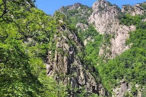
The Hangyeryeong trail starts at the pass at 1,004 m, so it begins with a lot of the height already gained: 8.3 km and 5h20 one way. The first stretch from the Hangyeryeong trail support centre up to the Hangyeryeong junction is steep; after that it is ridge walking along the Seobuk Ridge with views most of the way. If you have the legs, it extends into a 19.3 km, 12-hour traverse over Daecheongbong and down to Osaek or the Sogongwon side.
Seoraksan mountain height is 1,708 m at Daecheongbong, the third-highest summit in South Korea. Three trails reach it: Osaek (5.0 km, 4h), Cheonbuldong from the Sogongwon park entrance (11.0 km, about 6h40) and Hangyeryeong (8.3 km, 5h20); the Baekdam route through Inner Seorak also reaches it over 12.9 km, normally with a night at a shelter. The cable car does not go there. It climbs to Gwongeumseong Fortress at around 800 m, on the other side of the park. Daecheongbong is walked to, or not reached at all.
For a day walk the standard is the Osaek return: 10 km, 8 hours, first entry 03:00 in summer. Two things decide whether it happens. First, the entry-time designation: Osaek to Daecheongbong is open for entry 03:00–12:00 from April to October and 04:00–11:00 in winter, and outside that window staff will turn you back at the gate. Second, the fire-prevention closures, when every route to the summit is shut. Neither is negotiable. No reservation is needed for the summit itself.
There is no booking for the Daecheongbong trails, but shelters are booked, first-come, through the Korea National Park Service reservation system at reservation.knps.or.kr. The other thing that needs a reservation is the Gombaeryeong section on the Jeombongsan side of the park, capped at 350 people a day.
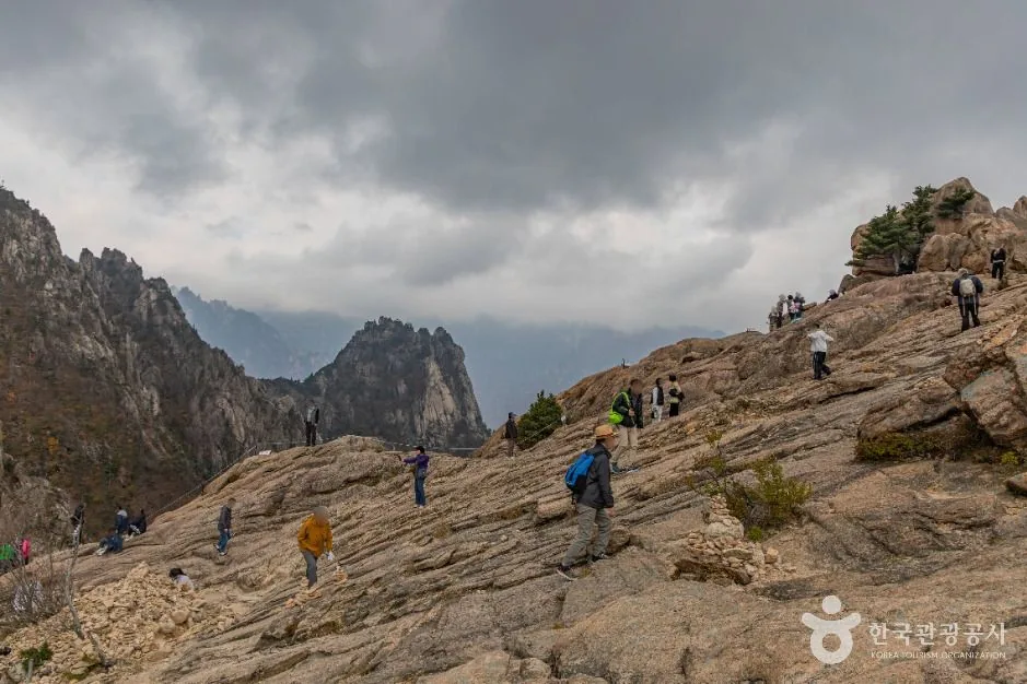
If a summit day is more than you want, Ulsanbawi Rock is the alternative from the Sogongwon park entrance in Outer Seorak. It is a single granite mass roughly 4 km around, standing on its own above the valley. The walk goes past Sinheungsa Temple and on to Heundeulbawi, the Rocking Rock, on an easy path, and only the final section up onto Ulsanbawi itself is steep, on a steel staircase. From the top you look down over the city of Sokcho and the East Sea. It is a completely separate objective from Daecheongbong, and much shorter.
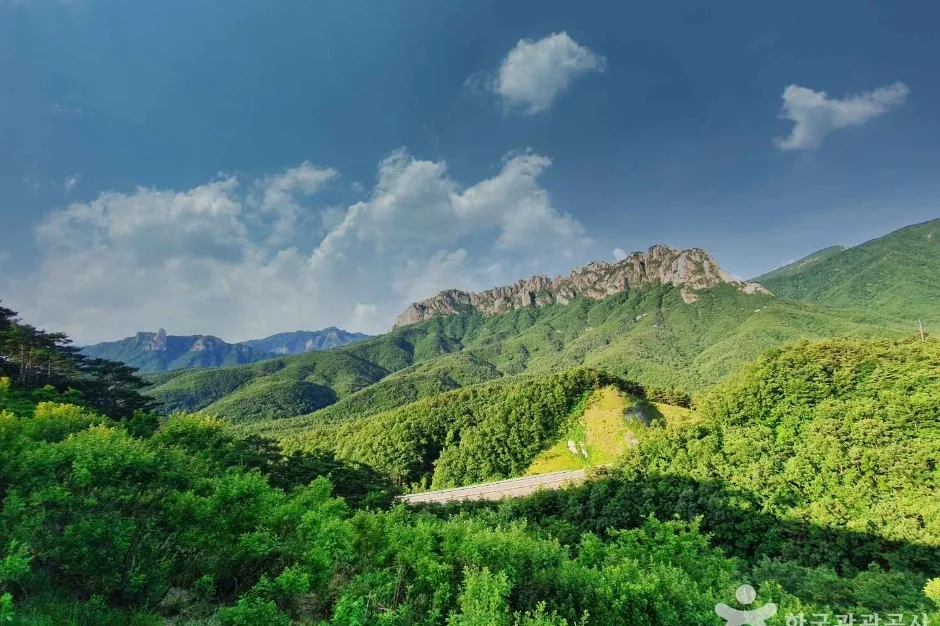
The full Ulsanbawi Rock trail guide › covers what the staircase section is actually like, Heundeulbawi and Sinheungsa Temple on the way, crowding on autumn weekends, and how to get to the park entrance.
The Seorak cable car runs from near the Sogongwon park entrance up to Gwongeumseong Fortress, at around 800 m. It covers 1.128 km in 5 minutes. The fare is 16,000 KRW return for adults and 12,000 KRW for children. Three things catch visitors out: there is no one-way ticket, there is no booking, and tickets are sold only on the day, in person at the ticket office. Operating hours change daily with the weather and are posted each morning on the front page of the operator's website. Tel. +82-33-636-4300. Fares and hours change, so confirm before you travel.
The other cable car people ask about is the one being built on the Osaek side. As of 2026 the Osaek cable car is not open. Construction is delayed, with completion projected for the end of 2029. Riding a cable car to Daecheongbong is not an option now and will not be for several years.
Dinosaur Ridge, Gongnyong Ridge in Korean, is the rock spine between Inner and Outer Seorak, and it is the reason Seoraksan has the reputation it has. It is also the hardest thing in this guide. The standard traverse runs from the Sogongwon park entrance over Madeungnyeong and down to Osaek: 19.1 km and 14 hours 40 minutes, Korea National Park Service figures. That is not a day hike for most people. The normal way to do it is with a night in a shelter, booked first-come at reservation.knps.or.kr.
Measure this one against your own experience before you commit. Nearly 15 hours of moving time on rock, with scrambling, exposure and no easy way to bail out once you are on the ridge, is a serious undertaking. Seoraksan also has fixed entry times. The sections that feed the ridge open at 03:00 in summer and close to entry by early afternoon, so a late start does not simply mean finishing in the dark; it means being turned back at a control post partway along. Add the fire-prevention closures in spring and late autumn, when the ridge is shut outright. If you have not done long mountain days on technical ground before, do Cheonbuldong or the Osaek route first and leave Dinosaur Ridge for another trip. Check conditions with the park office on +82-33-801-0900 before you commit.
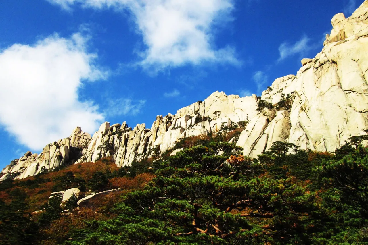
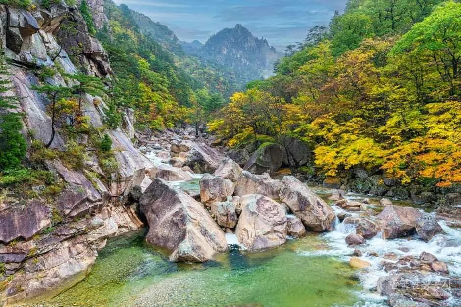
Seoraksan is usually the first place in South Korea to change colour. In an average year it starts on Daecheongbong in late September and reaches its peak in Cheonbuldong Valley in mid-October. Those are the windows the park and Korean hiking sources give, and they are averages rather than a forecast; the exact week moves with the weather each year.
The cost of being first is the crowds. This is the busiest period on any mountain in the country: the Sogongwon car park fills before dawn, shelter places go quickly, and the valley trail is slow going with the numbers on it. If you are coming for the colour, take the bus rather than drive, start early, and expect company. If you want a straightforward compromise, the first two weeks of October are the safest window.
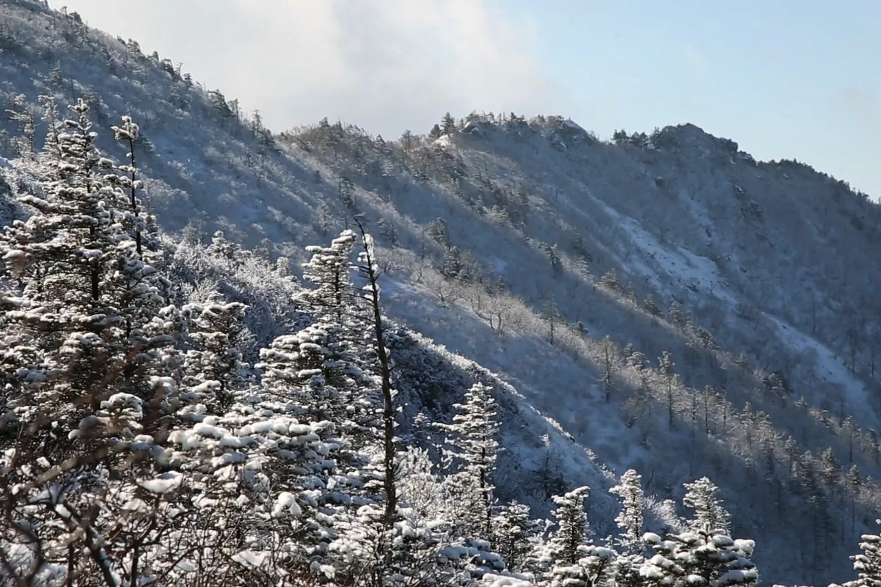
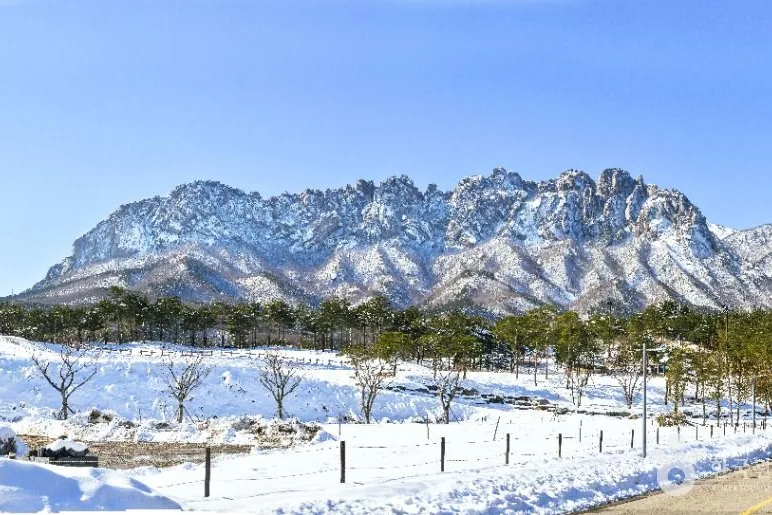
The name means snow mountain, and the winter scenery is what brings people. It is also the season when the mountain is least forgiving. Closures for snow depth and wind are frequent, and entry times shift earlier: Osaek to Daecheongbong runs 04:00–11:00 in winter rather than 03:00–12:00. Do not go up without crampons, gaiters and insulated gloves, and do not go alone on deep snow. Even in midsummer the summit ridge is cold and windy; in winter it is a different problem entirely. If you have not done winter hiking in Korea before, go with someone who has.
There is no entrance fee. National park entrance fees in Korea were abolished in 2007, and the Sinheungsa Temple cultural property fee at the Sogongwon entrance, 4,500 KRW until then, was abolished in May 2023. Walking into the park costs nothing. Parking does not.
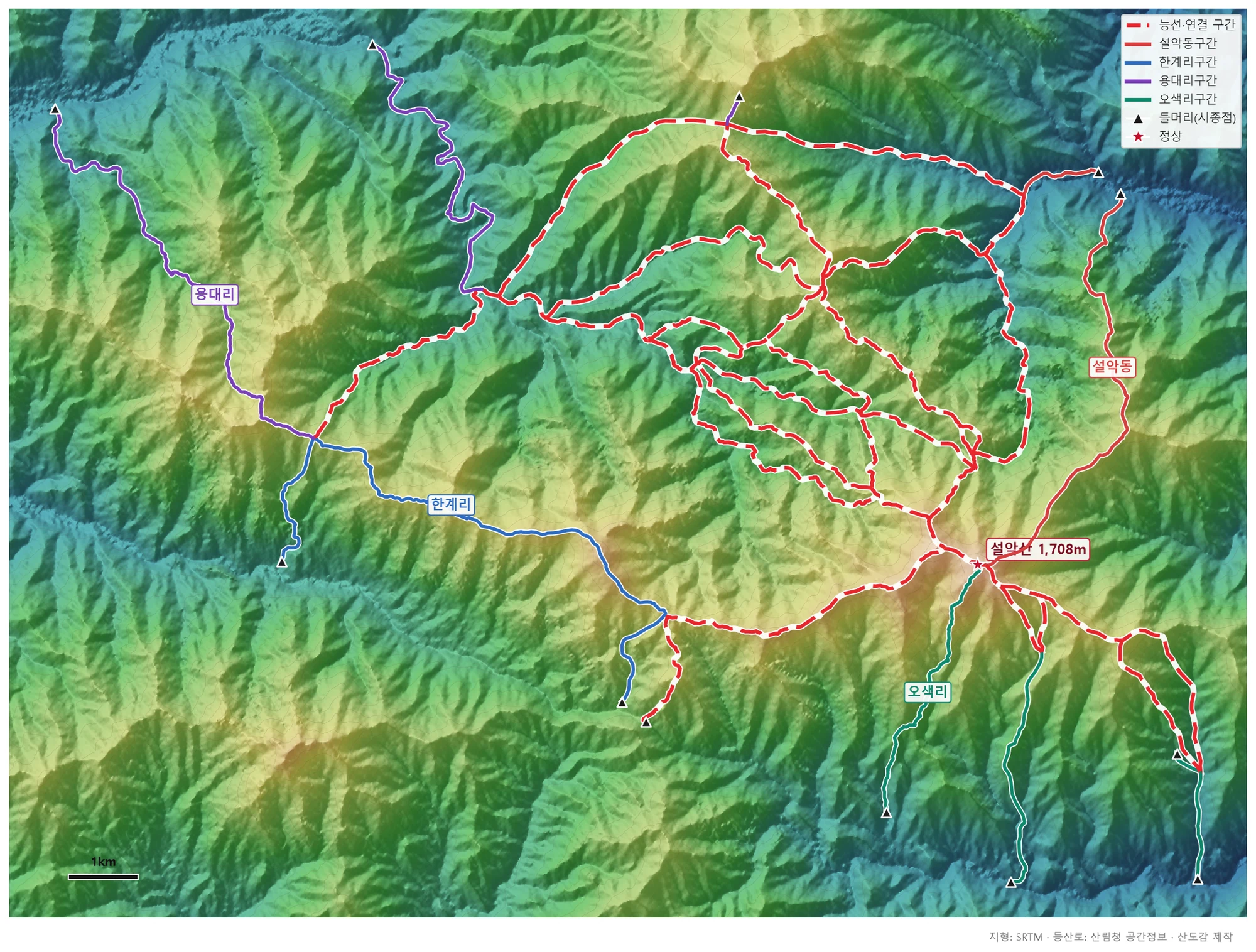
🗺 Open the full-size trail map
Seoraksan National Park holds 131.1 km of marked trail in total. That figure covers the whole skeleton of the mountain, Dinosaur Ridge, the Seobuk Ridge and the Hwachae Ridge included, rather than any single route. Signage on the ground is good, but the junctions on the ridges matter and phone signal in the valleys is not reliable, so carry the route offline.
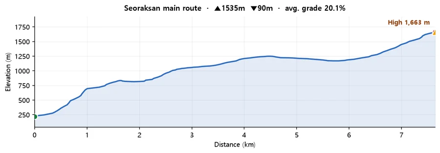
Calculated from SRTM terrain elevation (DEM) over 7.64 km. A moving average and a 4 m threshold are applied to damp GPS noise, so the figures run conservative rather than inflated. Drawn from the Korea Forest Service trail data by taking the path with the most total climbing, so it is the hard end of what the mountain asks of you. On some mountains the trail data stops short of the summit, so the highest point here can sit below the official summit elevation.
The base for Seoraksan is Sokcho, on the east coast. Express buses to Sokcho run frequently from Dong Seoul Bus Terminal and the Express Bus Terminal at Gangnam. From Sokcho, city buses #7 and #7-1 run to Seorakdong for the Sogongwon park entrance (Korea Forest Service information). For Osaek, take an intercity bus from Sokcho or Yangyang heading over Hangyeryeong and get off at the Osaek stop. For Baekdamsa in Inner Seorak, change to the local shuttle bus at Yongdae-ri. Timetables change, so check on the day, and work out the last bus back before you start walking.
Set navigation to the trailhead, not to the mountain: Namseorak Trail Support Center for Osaek, Seoraksan Sogongwon for Outer Seorak, Hangyeryeong Rest Area for the ridge route, and Baekdamsa parking lot at Yongdae-ri for Inner Seorak. The Seoul–Yangyang Expressway has made Osaek and Hangyeryeong much quicker to reach from the capital. If you are doing a traverse, work out how you get back to the car first, because the trailheads are a long way apart.
There are three practical bases. Seorakdong is at the Sogongwon park entrance, which suits a pre-dawn start up Cheonbuldong or a morning on Ulsanbawi Rock. Osaek is the forward base for a sunrise walk up Daecheongbong, and it is a hot-spring village, so there is somewhere to soak afterwards (Osaek Green Yard Hotel, +82-33-672-8500). Sokcho has the widest choice and puts you next to the sea and the fish markets; it is 20 to 30 minutes by car from any of the trailheads. After a walk, Sokcho is also where the food is: the central market, the raw fish at Daepohang and Dongmyeonghang, and the Abai village.
Q. How do I get to Seoraksan from Seoul?
Take an express bus to Sokcho from Dong Seoul Bus Terminal or the Express Bus Terminal at Gangnam; departures are frequent. From Sokcho, city buses #7 and #7-1 run to Seorakdong for the Sogongwon park entrance. For the Osaek trailhead, take an intercity bus from Sokcho or Yangyang over Hangyeryeong and get off at the Osaek stop; for Baekdamsa in Inner Seorak, change to the local shuttle at Yongdae-ri. Driving, the Seoul–Yangyang Expressway has made Osaek and Hangyeryeong much faster to reach. Check the last bus back before you start walking.
Q. How long does it take to hike to Daecheongbong Peak?
It depends on the route. Osaek is the shortest at 5.0 km and 4 hours one way, or 10 km and about 8 hours return, which is the standard day hike. The Cheonbuldong Valley route from the Sogongwon park entrance is 11.0 km and about 6h40 one way, and Hangyeryeong is 8.3 km and 5h20. Going up the valley and down to Osaek makes a 16 km, 10h40 day. All of these are Korea National Park Service figures. Remember that entry to the Osaek route closes at 12:00 in summer and 11:00 in winter, so a late start is not an option.
Q. Is the Ulsanbawi Rock trail hard?
It is much shorter and easier than any route to Daecheongbong. The path from the Sogongwon park entrance past Sinheungsa Temple to Heundeulbawi is gentle; the difficulty is concentrated in the final section, a steep steel staircase up onto Ulsanbawi Rock itself. That last part is a sustained climb on steps, and it is exposed. No official distance, time or step count is published for this trail, so we do not quote one. Call the park office on +82-33-801-0900 if you need exact figures, and see our full Ulsanbawi Rock guide for what to expect.
Q. Do I need a reservation to hike Seoraksan?
No, not for the trails to Daecheongbong. What you do need to check is the entry-time designation (Osaek to Daecheongbong admits hikers 03:00–12:00 from April to October and 04:00–11:00 in winter) and the fire-prevention closures, when the summit routes shut completely (4 March – 15 May and 15 November – 15 December in 2026). Reservations exist only for shelters, booked first-come at reservation.knps.or.kr, and for the Gombaeryeong section on the Jeombongsan side, capped at 350 people a day.
Q. When is the best time to see autumn colour on Seoraksan?
Seoraksan is normally the first place in South Korea to turn. In an average year the colour starts on Daecheongbong in late September and peaks in Cheonbuldong Valley in mid-October. Those are averages and the exact week moves with the weather each year, so treat them as a guide rather than a date. The first two weeks of October are the usual compromise. Expect the heaviest crowds of the year: the Sogongwon car park fills before dawn and shelter places go fast.
Q. Is the Seoraksan cable car worth it, and does it go to the summit?
It does not go to the summit. The Gwongeumseong cable car climbs 1.128 km in about 5 minutes to Gwongeumseong Fortress at around 800 m, on the Outer Seorak side. It is a viewpoint, not a way onto Daecheongbong. It is a reasonable option if a full hiking day is too much, or if you are travelling with people who are not walking. Practical points: 16,000 KRW return for adults and 12,000 KRW for children, no one-way ticket, no booking, and tickets sold only on the day at the ticket office. Hours change daily with the weather and are posted each morning on the operator's site. The Osaek cable car is still under construction, with completion projected for the end of 2029.
Q. What gear do I need for Seoraksan in winter?
Crampons, gaiters and insulated gloves at minimum; going up without them is not sensible on this mountain. Add a headlamp, since winter entry opens at 04:00 and the light goes early. Closures for snow depth and wind are frequent, and winter entry times are an hour tighter than in summer (04:00–11:00 on the Osaek route). Do not walk alone on snow, and if you have not hiked in Korean winter conditions before, go with someone who has. Check the closure information and the mountain forecast the day before.
Q. Is there an entrance fee for Seoraksan National Park?
No. National park entrance fees in Korea were abolished in 2007, and the Sinheungsa Temple cultural property fee at the Sogongwon entrance, 4,500 KRW, was abolished in May 2023. Entry to the park is free. Parking is charged: 4,000 KRW for a small vehicle on weekdays and 5,000 KRW at weekends and in peak season, which runs 1 July to 31 August and 1 October to 15 November. The cable car is a separate private fare.